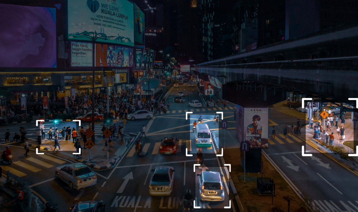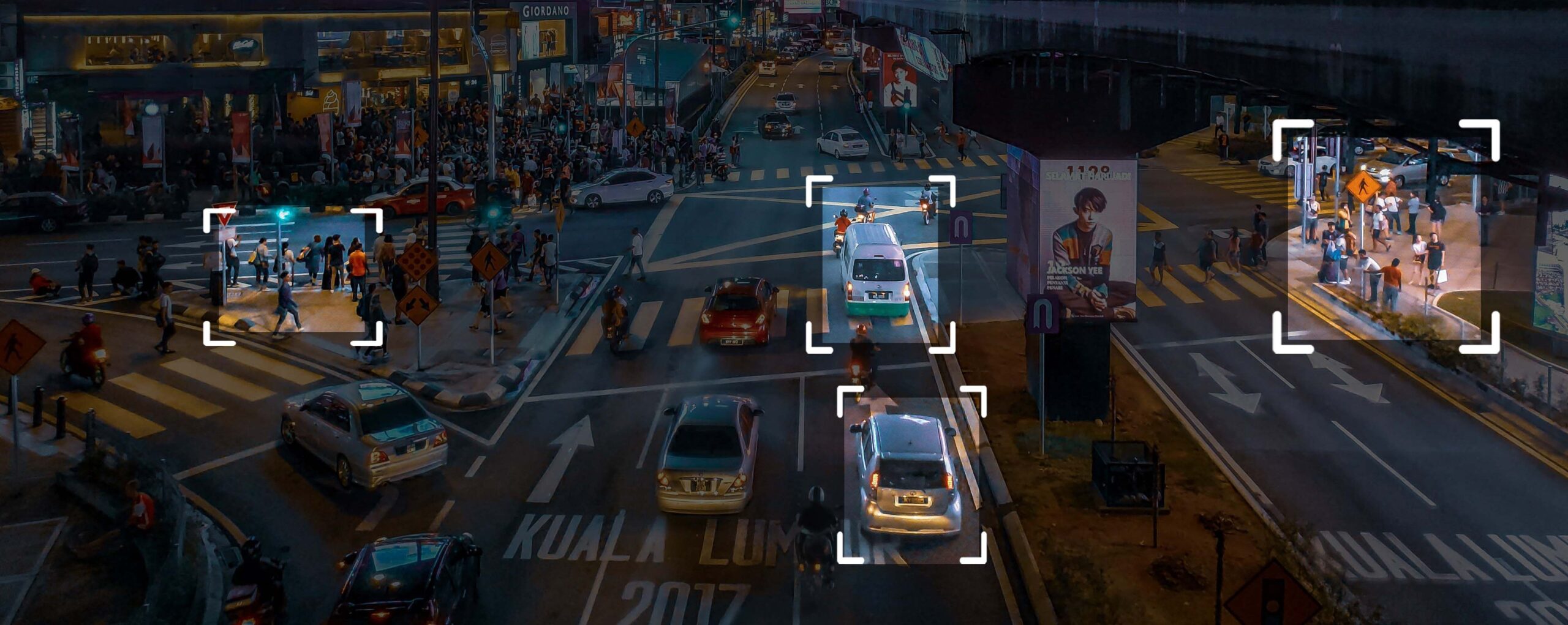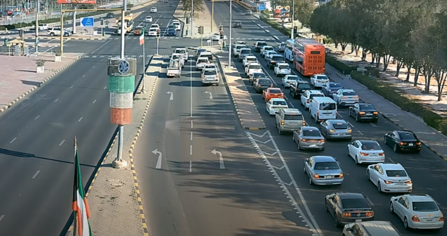
SensorTec solutions enable cities to create a more sustainable and livable environment. With SensorTec’s smart technologies, cities can enhance traffic safety and ensure the security of residents, even in the busiest urban areas.
With SensorTec’s panoramic technology, authorities can effectively monitor vast public areas while significantly reducing infrastructure, operational, and maintenance costs compared to traditional solutions for public areas.
By utilizing AI-powered video content analysis, our solution achieves greatly enhanced surveillance and security efficiency, leading to improved control and better evidence collection that might have otherwise been missed due to a limited law enforcement workforce.

YOU NEED OUR SYSTEM,
IF YOU WOULD LIKE TO …
ONE MANUFACTURER, MULTIPLE TECHNOLOGIES
MODULAR MULTI-LAYERED SOLUTIONS
MONITOR ENTIRE
VAST AREAS
EXTREME RESOLUTION MONITORING
AI COMPUTER VISION TECHNOLOGIES
REAL-TIME DECISION MAKING SUPPORT
IRREFUTABLE VISUAL EVIDENCE
CENTRALIZED REMOTE OPERATION
PIONEERING TECHNOLOGIES

SensorTec Panoramic Technology
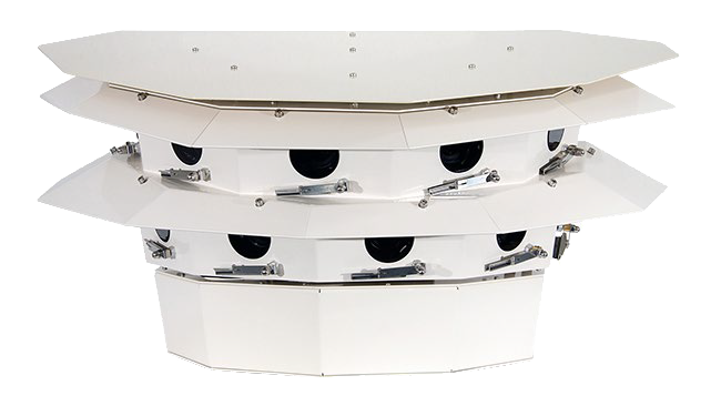
 SensorTec panoramic technology makes it possible to geometrically stitch images of SensorTec visible light and thermal sensors. The images are taken in a synchronized fashion which precludes the possibility of duplicated or hidden objects at the stitching borders. White balance and tone correction algorithms smoothen the color gradient between the images.
SensorTec Multi-Sensor PTZ Technology
SensorTec provides a leading-edge fully customized multi-sensor systems employing the longest range visible light day/night zoom cameras and the latest focal plane array technology for cooled or uncooled thermal infrared cameras to meet long-range surveillance and target identification requirements.
Our built-in neural network ensures that the system does not loose the relevant non-moving objects. The VCA also applies Object Feature Extraction, Motion Behavior Analysis and Motion Path Estimation algorithms in order to realize an intelligent, self-learning virtual environment.
SensorTec AI-Powered Video Content Analysis
SensorTec provides the most reliable VCA possible, as the algorithms run on full resolution, uncompressed image streams. This approach ensures accurate detection and tracking even at far distances. The VCA relies on several advanced methods. One of them is the Multidimensional Gaussian Background Model that always adapts to the background and differentiates every moving object from the learnt environment.
Our built-in neural network ensures that the system does not loose the relevant non-moving objects. The VCA also applies Object Feature Extraction, Motion Behavior Analysis and Motion Path Estimation algorithms in order to realize an intelligent, self-learning virtual environment.
Sensor Fusion Technology
SensorTec developed a specific data level sensor fusion technology, which realizes aggregated raw data analysis for the most accurate automatic detection and tracking possible. The AI algorithm works with uncompressed data that are delivered from different types of data sources. This way our systems are able to overcome the limitations of individual sensors and provide more reliable information of the monitored area and the objects within.
Besides, we are able to efficiently integrate 3rd party sensors and combine their capabilities with our sensors.
Operators can control PTZ cameras by selecting the area of interest in the panoramic image. PTZ cameras accurately zoom in on the desired area based on previously associated image coordinates. They are able to deliver even 1000 ppm resolution on the focused area. As operators see more visual details of a situation, they can provide more information to security guards so they can handle the situation more effectively.
On-Site Recording
SensorTec 4th generation data processing units are available with a special, outdoor design. They are weather and vandal-proof constructions with integrated thermal management to operate on-site. This feature significantly reduces installation costs, as there is no need to deploy fiber optic infrastructure over hundreds of kilometers between the cameras and the control centers.


