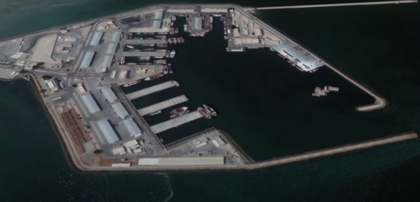
Safeguarding critical infrastructure often involves managing vast perimeters where conventional fences fall short, leaving significant vulnerabilities exposed. Traditional sensors frequently generate false alarms, consuming valuable resources and weakening security credibility. Without visual verification, security personnel lack the crucial context needed to assess and respond to potential threats swiftly and effectively. Innovative solutions are essential to provide comprehensive protection and address these challenges.
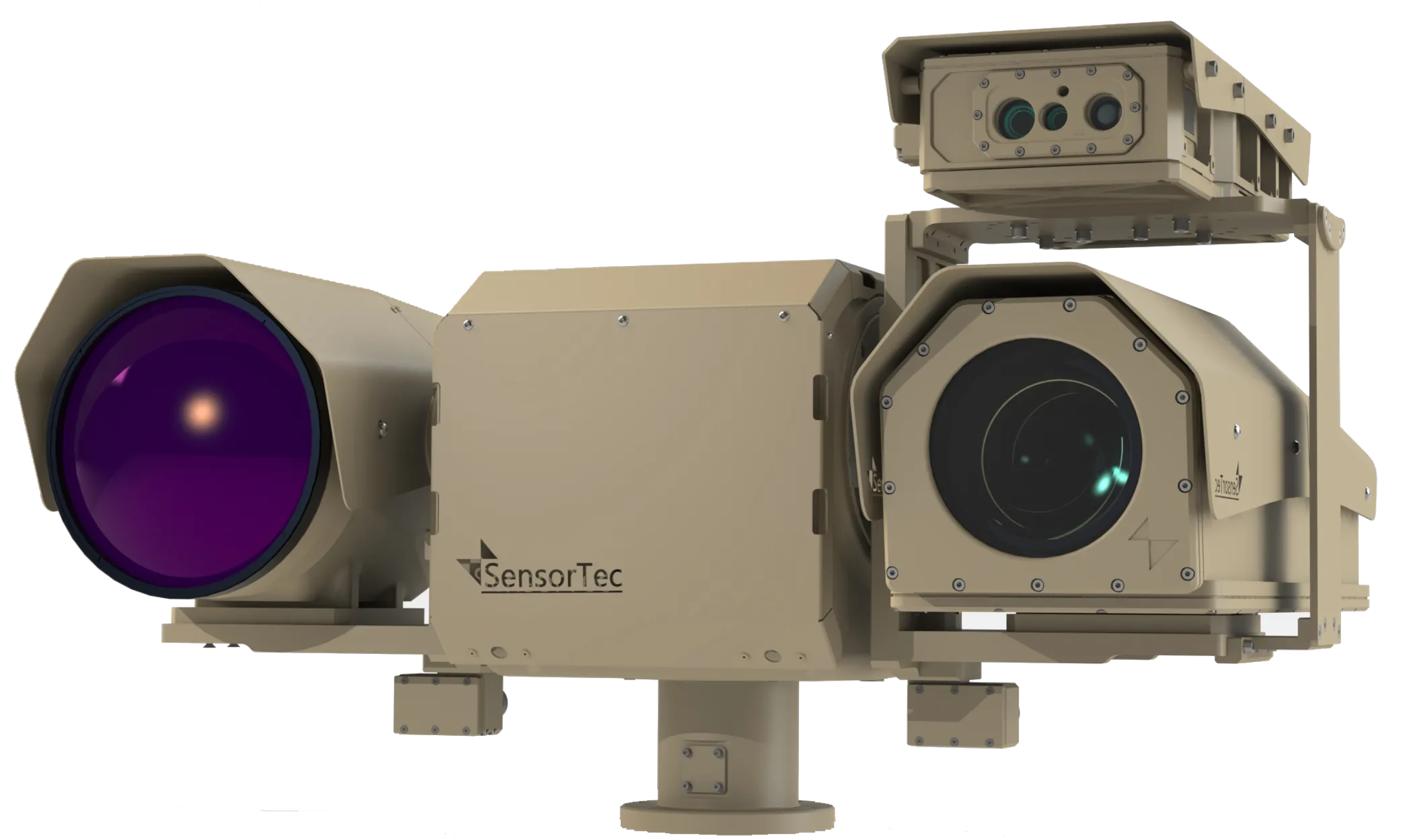
To address these challenges, high-end multi-layered systems are essential for prompt and efficient responses to both external and internal threats. Incorporating intelligent analytics and visual verification capabilities significantly enhances the ability to prevent and manage incidents, maintaining control over the environment. SensorTec critical infrastructure solutions are comprehensive multi-sensor solutions specifically designed to meet these needs. These solutions offer top-tier visible-light and thermal video surveillance with embedded intelligence, include a fused radar system, and facilitate seamless integration with a variety of third-party sensors.
CRITICAL INFRASTRUCTURE APPLICATIONS
SensorTec critical infrastructure solutions provide security and protection for a variety of applications, including but not limited to the following applications:
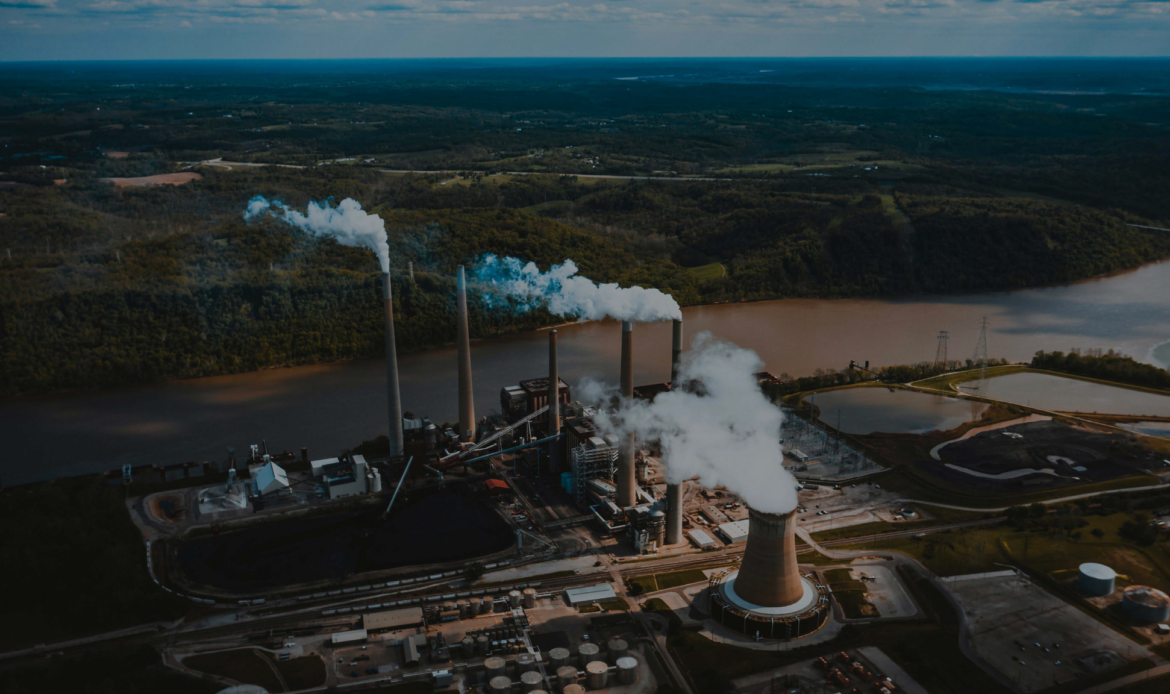
– Energy Sector (Oil and Gas, Solar, Wind, ….. ).
– Chemical Sector.
– Defense Industrial Base Sector.
– Critical Manufacturing Sector.
– Commercial Facilities Sector.
– Government Services and Facilities Sector.
– Financial Services Sector.
– Communications Sector.
– Information Technology Sector.
– Emergency Services Sector.
– Food and Agriculture Sector.
– Healthcare and Public Health Sector.
– Nuclear Reactors, Materials, and Waste Sector.
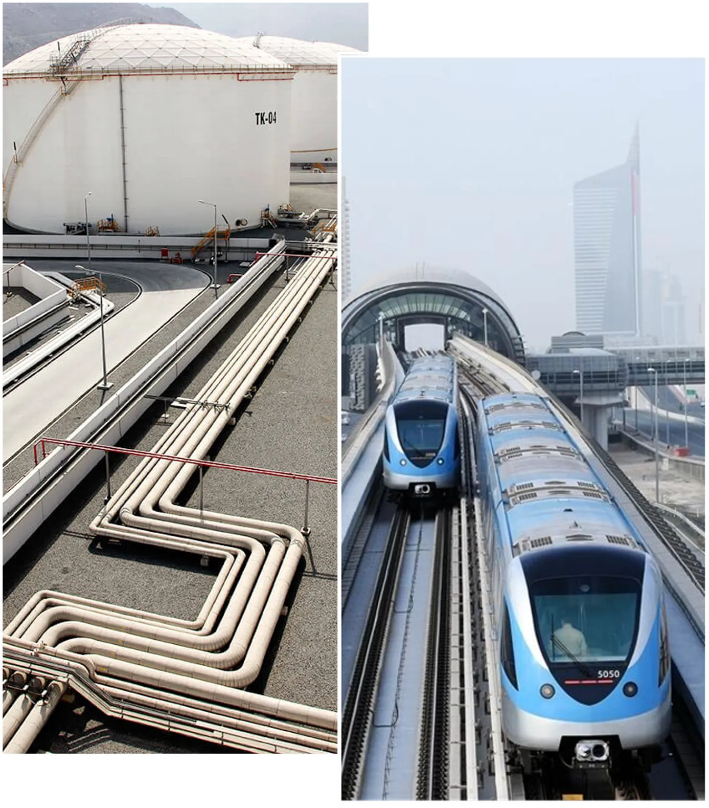
– Transportation Systems Sector.
– Dams Sector.
– Water and Wastewater Systems.
YOU NEED OUR SYSTEM,
IF YOU WOULD LIKE TO …
ONE MANUFACTURER, MULTIPLE TECHNOLOGIES
MODULAR MULTI-LAYERED SOLUTIONS
MONITOR ENTIRE
VAST AREAS
EXTREME RESOLUTION MONITORING
AI COMPUTER VISION TECHNOLOGIES
REAL-TIME DECISION MAKING SUPPORT
MULTIPLE TARGETS TRACKING
MIL-SPECS HIGH-GRADE MATERIALS
PIONEERING TECHNOLOGIES
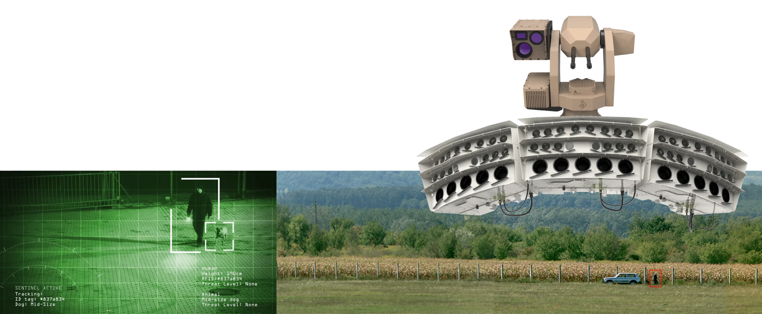
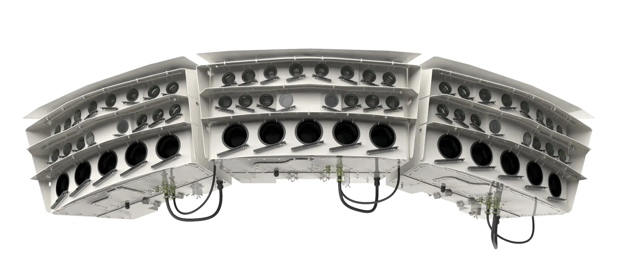
SensorTec Panoramic Technology
SensorTec Long-Range Multi-Sensor Technology
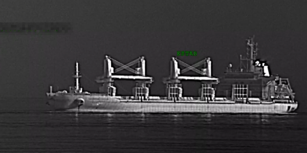
SensorTec provides a leading-edge fully customized multi-sensor systems employing the longest range visible light day/night zoom cameras and the latest focal plane array technology for cooled or uncooled thermal infrared cameras to meet long-range surveillance and target identification requirements.
SensorTec AI-Powered Video Content Analysis
SensorTec AI-based VCA relies on several advanced method. One of them is the Multidimensional Gaussian Background Model that always adapts to the background and differentiates every moving object from the learnt environment.
The VCA also applies object feature extraction, motion behavior analysis and motion path estimation algorithms in order to realize an intelligent, self-learning virtual environment.
Sensor Fusion Technology
SensorTec developed a specific data level sensor fusion technology, which realizes aggregated raw data analysis for the most accurate automatic detection and tracking possible. The AI algorithm works with uncompressed data that are delivered from different types of data sources. This way our systems are able to overcome the limitations of individual sensors and provide more reliable information of the monitored area and the objects within.
On-Site Recording
SensorTec 4th generation data processing units are available with a special, outdoor design. They are weather and vandal-proof constructions with integrated thermal management to operate on-site. This feature significantly reduces installation costs, as there is no need to deploy fiber optic infrastructure over hundreds of kilometers between the cameras and the control centers.
MAIN FEATURES AND FUNCTIONS
Monitoring
- 200-960MP long range dual vision panoramic video stream.
- Long range multi-sensor monitoring.
- Real-time monitoring in full resolution.
- PTZ control on panoramic images.
- Interactive map.
- Automatic zoom tour.
- Archive video.
AI Video Content Analysis
- Object automatic detection.
- Object automatic tracking.
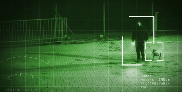
- Object classification (animal, human, heavy and light vehicle, boat, vessel).
- Multiple target tracking through multiple camera images.
- Tracking path.
- Object speed and direction detection.
- Automatic zoom and tracking function.
- Geofencing.
- Virtual fencing.
Integration
- Long range PTZ cameras.
- Radar systems.
- LASER range finders.
- Positioning systems.
- Seismic sensors.
- Fiber optic sensors.
- 3rd party control software.
Active Response
- Classification.
- Counter.
- Neutralization.
VISUAL ENHANCEMENT USING
HIGH-END SENSORS
COVERING VAST AREAS
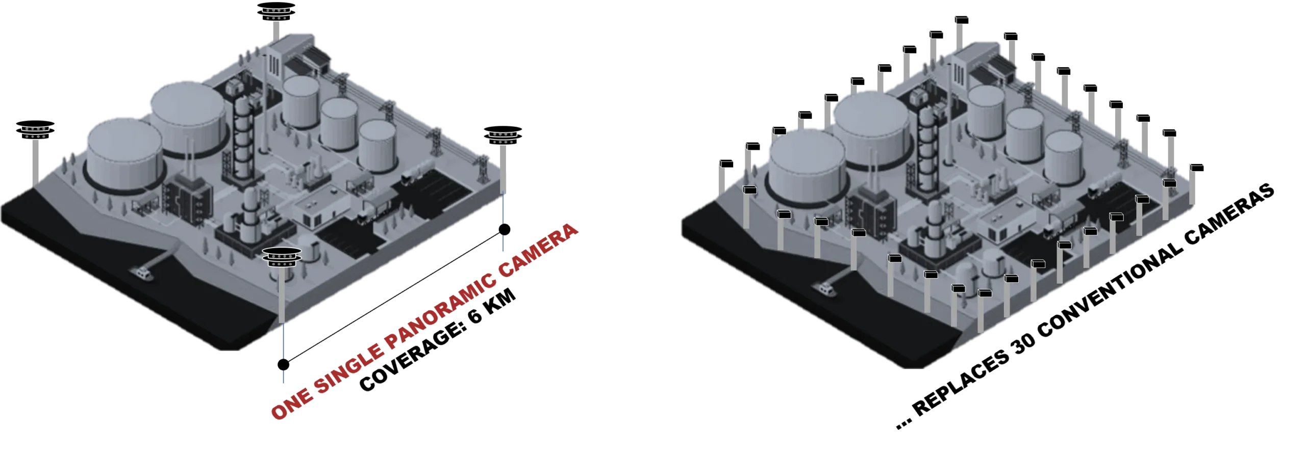
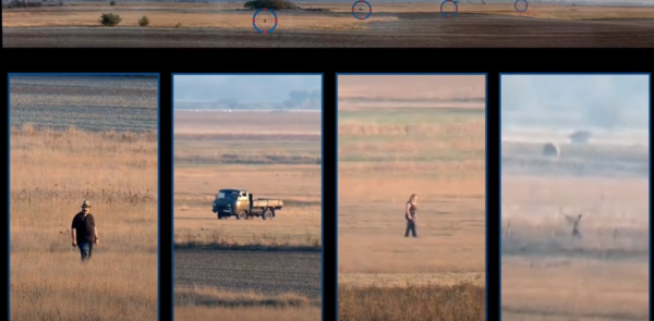
The main line of visual coverage consists of our dual-vision panoramic cameras along with multi-sensor PTZ cameras. A single panoramic camera provides 320MP resolution for visible light surveillance and 6MP for thermal vision. It provides 40° FOV and effectively monitors an area of 3.2km² from a single viewpoint. Its resolution allows to detect humans within a range of up to 3km.
Three of these cameras can be installed at a single spot, providing 960MP resolution for visible light surveillance and 18MP for thermal vision. It provides 120° FOV and effectively monitors an area of 9.6km² from a single viewpoint.
MONITORING IN EXTREME RESOLUTION
Displaying 200-960MP panoramic images during live monitoring or archive playback is not an easy task. This amount of data can impose excessive burdens on the network infrastructure and also on client computers.
SensorTec developed a special technology to overcome this issue. The system stores the panoramic images in full resolution on the NVR, but always transmits and displays only relevant pixels. When a panoramic overview is on screen, its horizontal resolution is equal to the screen resolution. When an operator zooms in, the system sends the cropped image in higher resolution. As the zoom value increases, so does the transmitted image resolution.
MULTI-SPECTRAL IR IMAGING
There are many types of imaging technologies available, SensorTec provides multi-sensor systems that allow you to easily take advantage of multiple imaging technologies simultaneously.
AI-POWERED
VIDEO CONTENT ANALYSIS


Covering vast areas with extremely high resolution is just the initial stage in effective surveillance. SensorTec critical infrastructure solutions are developed to automatically detect, track, classify and counter/neutralize various object types within the monitored area.
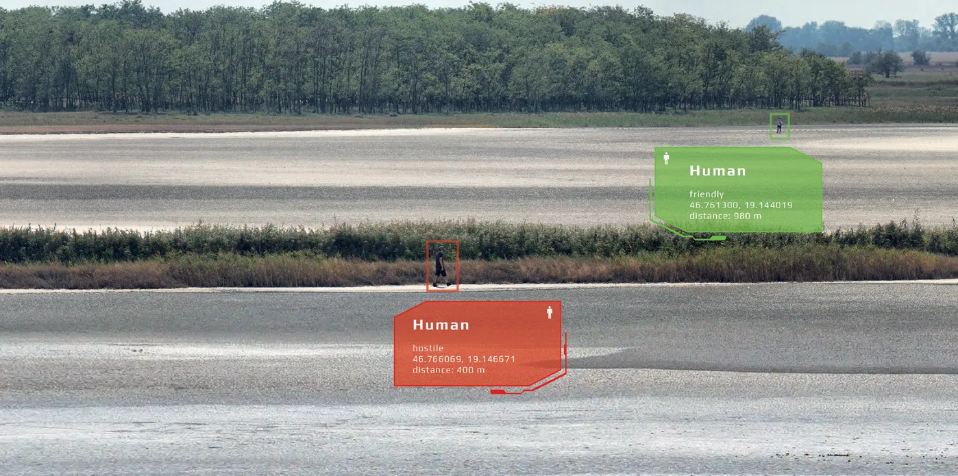
In a natural environment, typically numerous animals are in motion, which are not relevant in terms of surveillance. Our algorithms precisely recognize objects, alerting operators when potential threats are present in the field. Our AI-powered VCA accurately classifies animals, humans, heavy or light vehicles, vessels and boats.
The Real-Time Decision Making Support optimizes the front-end visualization of all detected objects, highlighting relevant or urgent situations in the user interface. This process ensures that operators receive filtered information, allowing them to make informed decisions based on visual verification to determine whether the moving objects are friendly, neutral, or pose a potential threat.
Our design approach focuses on tailoring solutions for optimal performance across short, medium, and ultra-long ranges. This involves seamlessly integrating multiple systems and equipment, spanning from visible light to various infrared spectrum wavelengths, into an integrated solution that provides comprehensive 360° coverage. To further enhance functionality, we incorporate custom AI-powered video content analysis providing AI-powered detection, classification and tracking functions to exceed the limitations of operator-based observation.
MULTI-LAYERED INTEGRATED SOLUTIONS
ACTIVE RESPONSE – THREAT NEUTRALIZATION
VIDEOS
